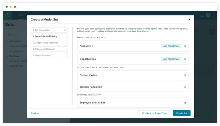
The Territory Model Editor lets you easily set up data points and shapes, leveraging insights from Measures and other visualizations to guide your decision-making. With its intuitive map-based interface, you can effortlessly combine data from multiple sources to create territory models tailored to your unique business needs.
You can manually build a model or you can save time and effort by using the Optimizer to automate territory creation allowing an optimal balance of value or record count across shapes. After you build and assign shapes and data points, Measures (Link) will give you valuable numeric insights, enhancing your strategic planning.
To learn more about Territory Model Editor, visit our help site.
Build, balance, and optimize your territories in minutes.